|

|
|
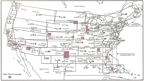
IFR Enroute Low Altitude Charts - Continental U.S.
Buy Product Online | Visit Store Home |
|
|
Manufactured by FAA |
||
|
Related Products
|
||
|
Other Items from IFR Enroute Low Altitude Charts
|
||
| Return To Pilot Supplies - Touch and Go Pilot Supply - Flight Bags - Aviation Headsets - Aviation Supplies | ||
|
|
||
| Questions? Call Touch & Go Pilot Supply Toll Free at 1-877-627-8395. We look forward to assisting you in your selection of pilot supplies, aviation headsets, flight bags, transceivers, pilot kneeboards and more. |
|
|
||
| E-commerce powered by MonsterCommerce shopping cart. |